File:CASalinas.png

Size of this preview: 484 × 599 pixels. Other resolution: 957 × 1,185 pixels.
Original file (957 × 1,185 pixels, file size: 1.22 MB, MIME type: image/png)
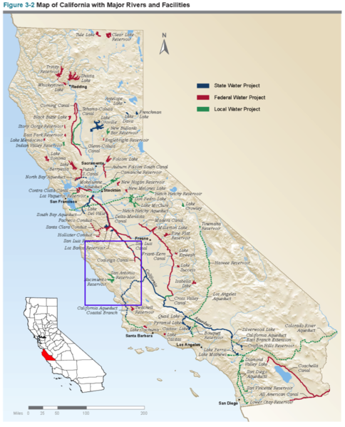
Map of water projects in California from the California Water Project with Salinas County highlighted.
File history
Click on a date/time to view the file as it appeared at that time.
| Date/Time | Thumbnail | Dimensions | User | Comment | |
|---|---|---|---|---|---|
| current | 19:28, 13 November 2017 | | 957 × 1,185 (1.22 MB) | SamKumasaka (talk | contribs) |
You cannot overwrite this file.
File usage
The following page uses this file: